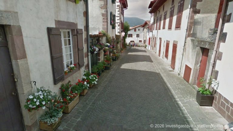
When you’re on the road, you want to know what’s ahead — not once it’s too late. That’s exactly why our interactive Camino map now has two new, optional layers.
- Camino Frances · 766 km
- Camino Ingles · 148 km (in Vorbereitung)
- Camino Fisterra Muxia · 241 km
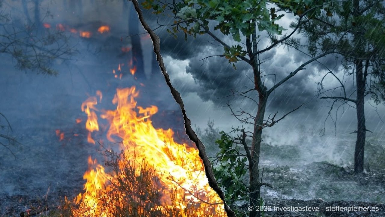
Tick the box „Show current wildfires” to see active heat sources detected by NASA satellites, updated several times a day. Tick „Show current severe weather warnings” to see which region currently has an active AEMET alert (Spain’s national weather service) — from Navarre through La Rioja and Castile and León to Galicia.
Both layers are hidden by default to keep the map clear, and they don’t replace an official warning — in a real emergency, always call 112.
Take a quick look before you set off. Sometimes it’s exactly what decides which stage you choose.
Current Reports
- ⚠️ Navarra: Severe weather warning (Amarillo)
- ⚠️ Galicia: Severe weather warning (Naranja)
Satellite and official data (NASA FIRMS, AEMET), not an official warning. Emergencies: 112.
FIRMS data last fetched: 2026-09-29 02:27:14
About the Author