Stage 1: Saint-Jean-Pied-de-Port → Roncesvalles

A New Stage Day – Beginning & Atmosphere
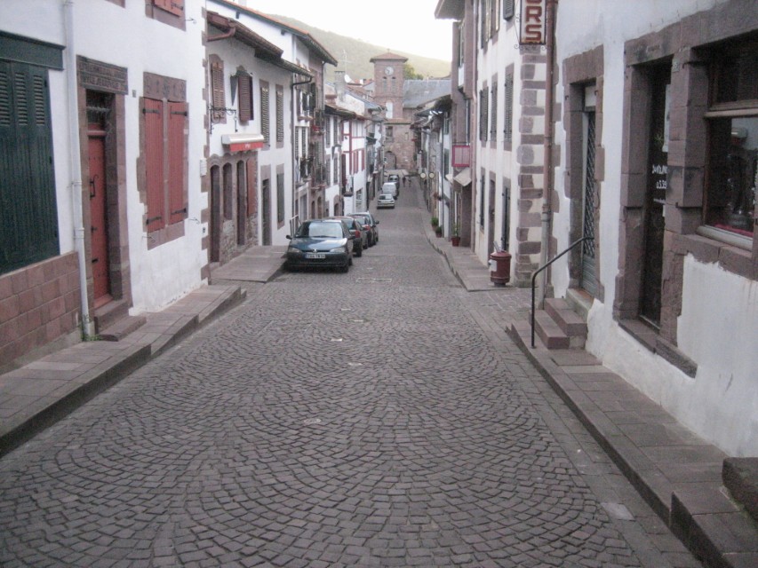
Dawn settles like a soft veil over the city walls of Saint-Jean-Pied-de-Port. In the narrow streets, the air smells of wood fire and fresh bread, the first voices echo against the cobblestones. In front of the Porte St-Jacques, through which pilgrims have set out for centuries, people with colorful backpacks and shining eyes gather.
You take a deep breath as the bells still resound over the rooftops. The first step out of the narrowness of the town carries you into a new chapter: into the Pyrenees, into the history of countless pilgrims, out of everyday life. You do not yet know whether you will end the day rejoicing or exhausted. But you do know: Today your Way begins.
Route & Elevation Profile
Distance: 25.7 km (Napoléon) / 23.8 km (Valcarlos)
Elevation gain/loss: +1,365 m / –555 m (Napoléon) · +900 m / –400 m (Valcarlos)
Difficulty: hard (Napoléon) / medium to hard (Valcarlos)
The Napoléon Route is a trial of strength. From early on it forces you into the rhythm of breath and sweat, while the Valcarlos variant seems to guide you more gently—until its final ascent still challenges you. No number, no elevation gain leaves you untouched when you walk it on tired legs.
Variants & Small Diversions
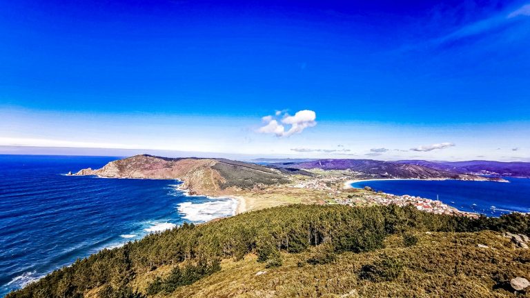
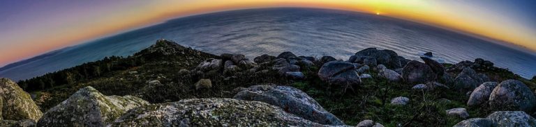
The Napoléon Route climbs steeply right after Saint-Jean, leading via Honto, Orisson, on to the Virgen de Biakorri, past shepherds’ huts, up to the Col de Lepoeder (1,450 m). It offers wide views and a sky that both rewards and tests you. Between November and March it is closed, as fog and snow turn beauty into danger.
The Valcarlos Route follows the valley of the Nive de Luzaide via Arnéguy and Valcarlos to the Ibañeta Pass (1,057 m). It is less exposed, accompanied by the rushing of the river, by forests and villages. But its final ascent is long, a constant trial stone that makes you feel: safety does not mean ease.

Description of the Way – With All Senses
The path leaves Saint-Jean, and soon the first heights loom behind you. On the road to Honto you are accompanied by cowbells and the scent of hay. Small farms lie still, only the scraping of poles on asphalt breaks the silence. In Orisson you encounter the first rest station. Some stay overnight here to split the ascent. Others drink coffee, letting their gaze wander—back to Saint-Jean, which lies tiny in the valley.
Beyond Orisson the landscape widens. You walk past the Virgen de Biakorri, a statue of Mary enthroned on a rock like a silent guardian. Candles, prayers, small offerings testify to the hope of those who sought support here. High above, at Borda, you enter the world of the shepherds. Stone huts, sheep on green ridges, the wind carrying the ringing of bells. Here the rhythm changes—there is only the step, the breath, the sky.
At the Col de Lepoeder you reach the summit. Spain lies before you, fog or sun deciding whether it appears like a secret or a promise. The descent is steep, leading you into the shelter of dense forests. Damp leaves, the scent of mushrooms, and the shade of the trees accompany you. Shortly before Roncesvalles lies the Roland’s Fountain. Legend says Roland dipped his sword into the water here. Whether legend or truth—the spring speaks of history and myth.
The Valcarlos Route leads you differently: In Arnéguy you encounter border life—bars, shops, voices. Valcarlos welcomes you with shade and the rushing of the river. The path then draws you slowly upward until at the Ibañeta Pass you reach the small chapel of San Salvador. Here the memory of Roland resounds before the path gently leads you into Roncesvalles.

Intermediate Places & Particularities
- Honto (5 km): first hamlet, water source, farms.
- Orisson (8 km): small albergue, legendary pilgrim meal.
- Virgen de Biakorri (9 km): statue of Mary, pilgrim sanctuary.
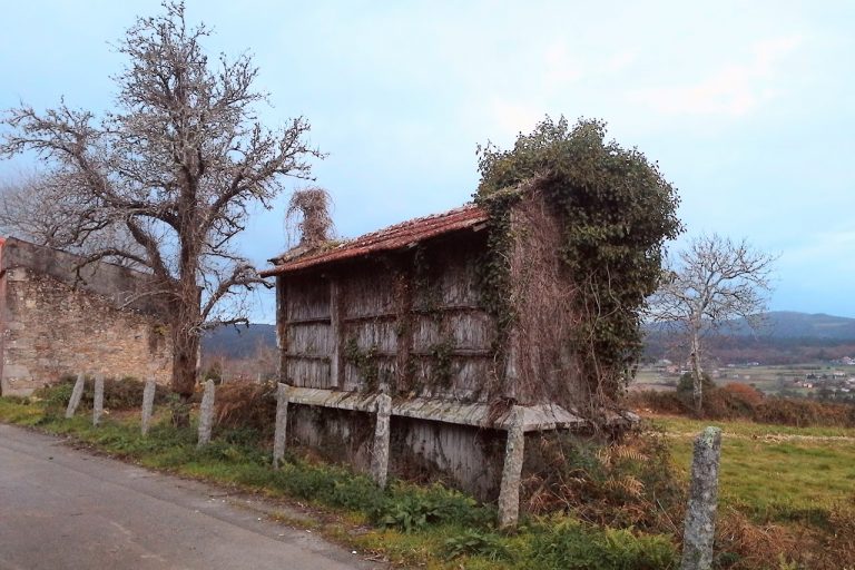
- Borda (11 km): shepherd’s hut, pastoral farming.
- Col de Lepoeder (21 km): highest point, 1,450 m.
- Roland’s Fountain (24 km): spring, legend of Roland.
- Arnéguy (8 km, variant): border town with bars.
- Valcarlos (14 km, variant): village, shade, bars.
- Ibañeta Pass (22 km, variant): chapel of San Salvador, memory of the battle.
- Roncesvalles (24–26 km): monastery, pilgrim hostel, spiritual center.
Each place is a small building block: history, faith, daily life—woven into the landscape.
Packing & Shopping Tips
Those who choose the Napoléon Route must rely on self-sufficiency after Orisson. Water and provisions are essential. On the Valcarlos Route you will find bars in Arnéguy and Valcarlos, but even here the rule applies: better be prepared. 1.5–2 liters of water, bread, cheese, fruit. Add a rain jacket, warm layer, and poles for the descent.
Food, Overnight Stay & Supplies
- Orisson: small albergue, must be reserved very early.
- Valcarlos: albergues, bars, small market.
- Roncesvalles: monastery albergue (240 places), pilgrim menu in the refectory, several guesthouses.
In Roncesvalles exhaustion and joy merge: in the refectory with wine and soup, in the mass with the pilgrim’s blessing. An evening that makes community tangible.

The Special Feature Today
Roncesvalles is a place where history and legend intertwine. In the year 778 the rearguard of Charlemagne’s army fell here. Roland, his nephew, fought to the end. His horn call, so the Chanson de Roland tells, echoed across the mountains until it fell silent. At Roland’s Fountain the spring remembers him—cool, clear, mysterious.
But the myths are only one side. On the other side the monastery welcomes you, a shelter for pilgrims for centuries. Its church, the eternal light, the silence of the walls speak of comfort and new beginnings.
And in between, the Ibañeta Pass: a crossing where heaven and earth meet. The chapel of San Salvador stands like a signpost, showing that every step is not only path, but also history.
Thus this day carries you from the exertion of the Pyrenees into a chain of legends, battles, faith, and stories.

Reflection at Stage’s End
When in the evening you stand in the monastery courtyard, the last light falling through the trees and the voices growing quieter, you ask yourself:
“Was it the hardship of the ascent that shaped you—or the stories that have been carried on here for centuries?”
📊 Tabular Overview
| Stage | Start | Destination | Distance | Elevation gain/loss | Difficulty | Intermediate places |
| 1 | Saint-Jean-Pied-de-Port | Roncesvalles | 25.7 km (Napoléon) / 23.8 km (Valcarlos) | +1,365/–555 (Napoléon), +900/–400 (Valcarlos) | hard / medium-hard | Honto, Orisson, Biakorri, Borda, Lepoeder, Roland’s Fountain / Arnéguy, Valcarlos, Ibañeta |
🌌 Camino of the Stars
Saint-Jean-Pied-de-Port → Honto → Orisson → Virgen de Biakorri → Borda → Col de Lepoeder → Roland’s Fountain → Roncesvalles
Saint-Jean-Pied-de-Port → Arnéguy → Valcarlos → Ibañeta Pass → Roncesvalles
Call to Action